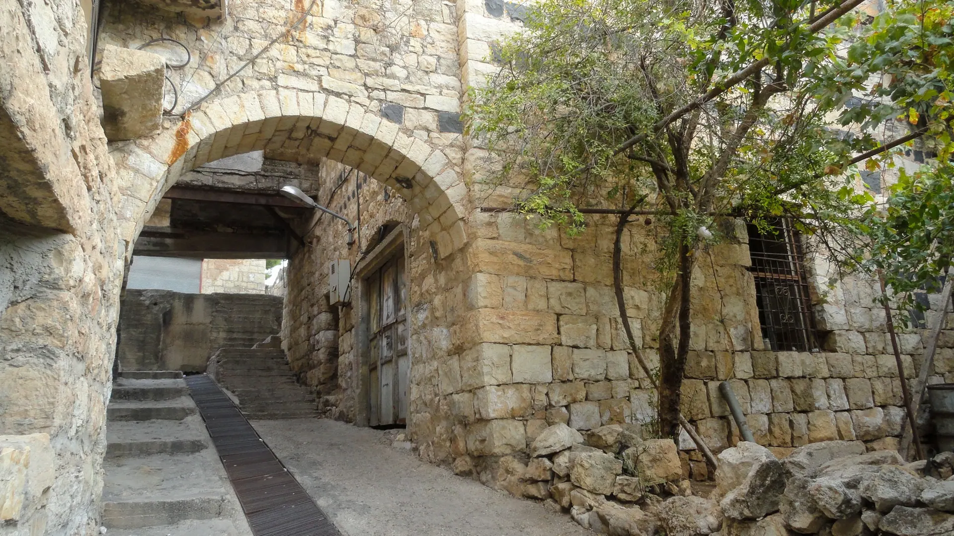
Naming and Meaning
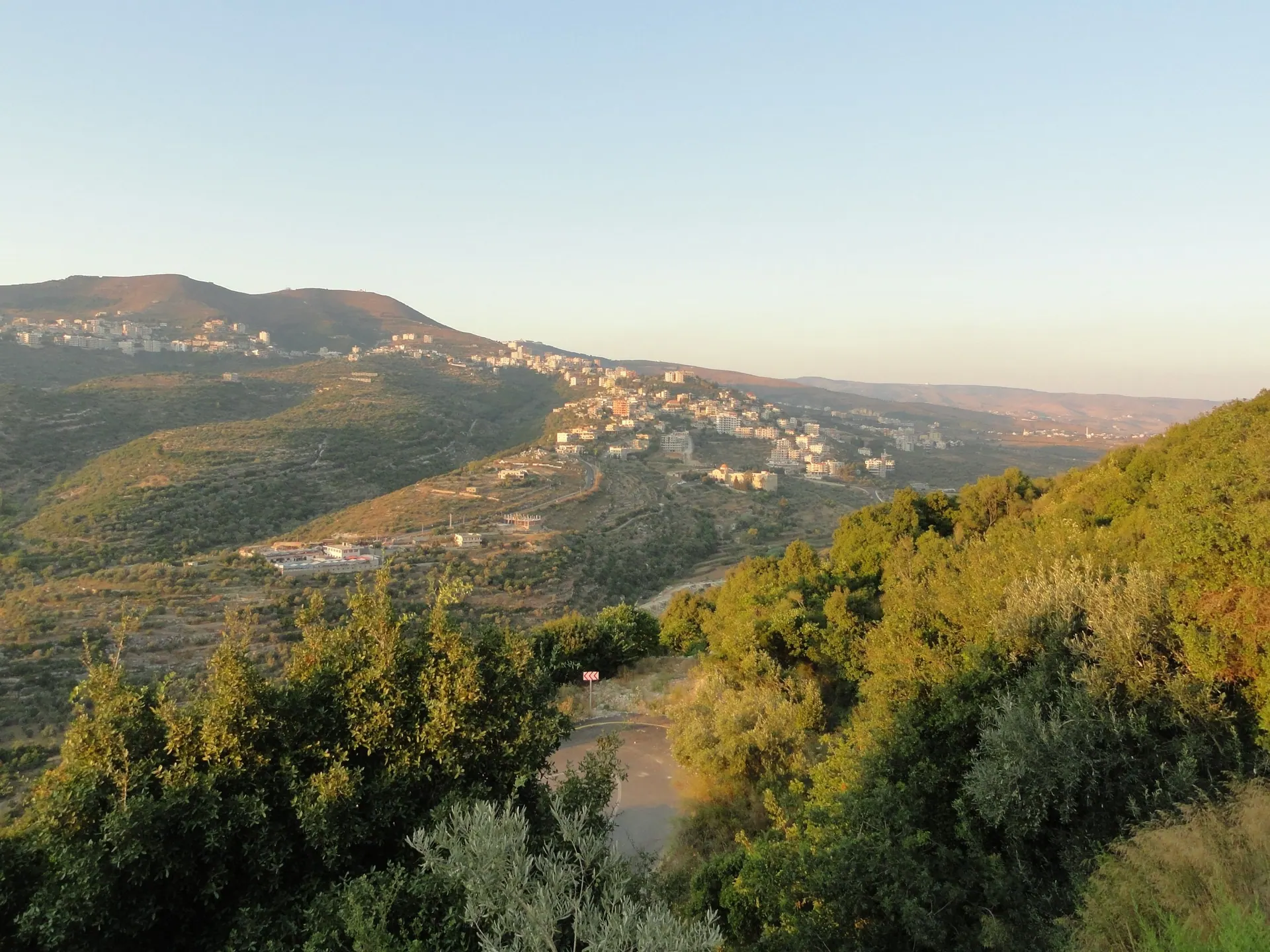
Geographical & Strategic Location
The region's strategic significance stems from its unique location, acting as a gateway between the Akkar Mountains and the southern foothills of the Latakia Mountains. Situated in the heart of the "Homs-Tripoli Gap"—a vital natural, commercial, and military corridor—it links the Mediterranean coast with the Syrian interior. Additionally, Bannout Hill, extending from Mount Sayeh, serves as a natural fortress between Wadi al-Shahmin and Jurat al-Ain.
Panoramic Overlook & Extension
Nestled within the Wadi al-Atshan valley, modern-day Almishtaya sits at an altitude of 467 meters above sea level. To the east, it overlooks the "Ain al-Ajouz" gap with the "Jabal al-Helou" mountain mass visible. To the west, it provides a sweeping view across the Akkar plains stretching toward the Mediterranean; on clear days, the Port of Tripoli, its lighthouse, and maritime traffic can be seen with the naked eye. The majestic Krak des Chevaliers fortress lies to the southeast, clearly visible from the village.
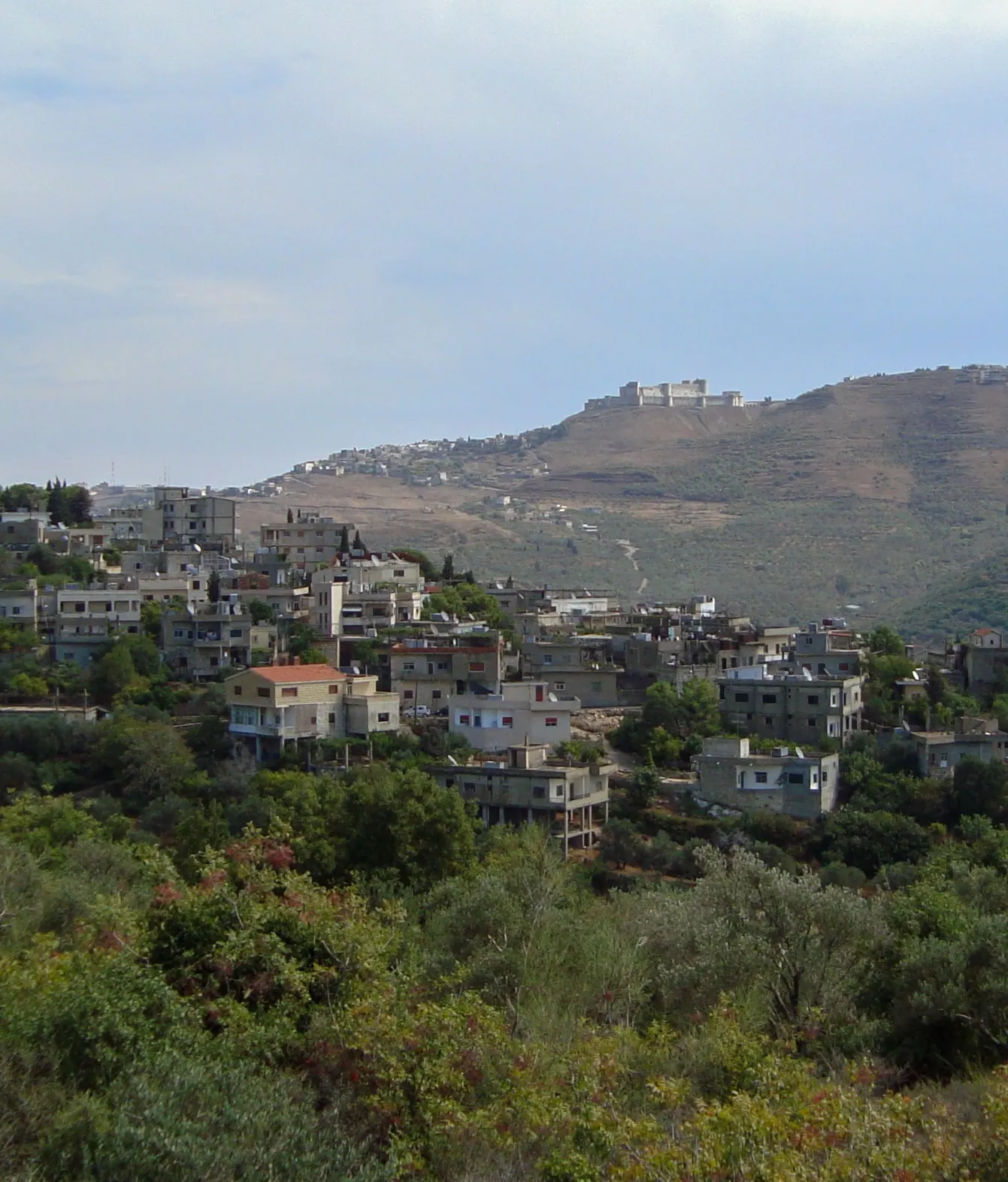
Geological and Topographical Profile
The village is precisely located at coordinates 36°16′28″ E and 34°46′14″ N. On December 21st, the sun rises behind the "Harat al-Saraya" horizon; on March 21st, it appears behind "Bahour" village in "Jabal al-Helou"; and on June 22nd, it rises behind "Mqalles" village. This topography forms part of the convex fracture slope that characterizes the southern edge of the Latakia mountain range.
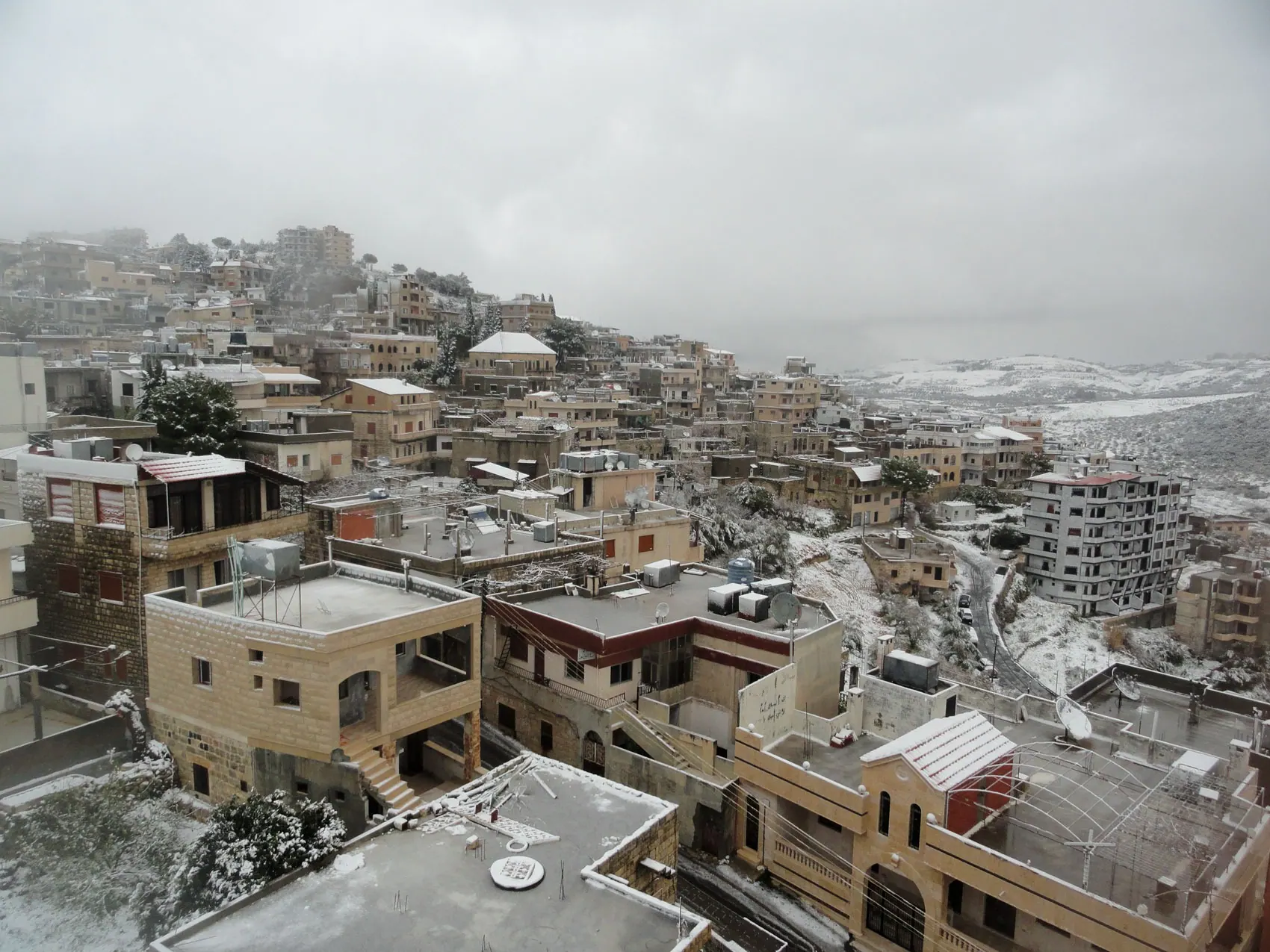
Climate and Weather Patterns
Almishtaya is located at the southern tip of the humid Mediterranean climate zone in the Syrian region, transitioning into a semi-humid zone to the east. The continental factor is low (around 20%), resulting in warm winters, moderate summers, and minimal daily temperature fluctuations. The annual average dry temperature is 17°C, with solar radiation averaging 15 kWh/m². Due to its elevation (approx. 460m) and year-round vegetation, its winters are notably cooler than the surrounding interior regions.
Humidity, Precipitation, and Winds
- 1Altitude: Temperatures naturally decrease as elevation increases.
- 2Local Topography: Influence from heavy winter rains, lush vegetation, the "Homs-Tripoli Gap", and nearby surface dams.
From the book: Almishtaya... A Civilizational Memory | By Author: Ramez Elias Salibi